
 60.0°,
Overcast
60.0°,
Overcast Anatomy of a storm: ‘One for the books’


With the drumbeat of warnings echoing in our ears, The Jewish Star turned to Harvey Thurm, meteorologist, Woodmere resident, member of Congregation Aish Kodesh and Hurricane Program leader for the National Weather Service, Eastern Region. He works out of his office in Bohemia, Long Island, right across from Islip/MacArthur airport. We consulted with him both before and after the storm.
Predictions: Before Sandy
The Eastern region covered by Harvey Thurm is from south of Savannah, Georgia, up the coast through Maine and west to Ohio and West Virginia. That made the path of Hurricane Sandy “right in the middle of our area of responsibility,” he said.
There are four regions in the contiguous United States and two more, one each for Hawaii and Alaska. Hurricane season stretches from June 1st through November 30th. The heart of the hurricane season is usually mid-August to mid-September and then it slowly winds down, said Thurm. “By the end of November it’s officially over. This is extremely late. I don’t remember one this strong affecting our area this late.
“This is going to be historical, coming in with a pressure close to rivaling the 1938 hurricane,” Thurm predicted in a phone interview the Monday before the storm. “That was the lowest pressure ever recorded on Long Island. This system is coming on a different path but the barometric pressure is similar, close to (that of) 1938.” He noted that we were discussing the storm before it happened. “As of now, it’s very similar, but the 1938 storm came up from the south to the north; this is coming from the southeast to the northwest, centering on the Jersey shore—’38 made landfall on central Long Island. (The 1938 storm created Shinnecock Bay).
Thurm explained that a hurricane is a warm core system, with warm air at its center, noting that a winter storm has cold air at its center. He pointed out that Sandy was unusual, “a hurricane embedded in a larger nor’easter, a hybrid-type storm,” he said. “You get two for the price of one—you’re getting your money’s worth.”
The hurricane formed “where they usually form this time of year,” he said, east of Nicaragua, south of Jamaica, in the northwest Caribbean Sea. He said that it moved north, killing people as it passed through Jamaica, Haiti and east Cuba, and then moved across the Bahamas.
“We saw this coming the end of last week,” he emphasized. “The computer models picked up a large event—this track is unique—we never had it coming in southeast to northwest—it’s extremely unusual. This evening’s storm surge will be very damaging-at least along the coast. This evening is the main show.” He predicted flooding in Pennsylvania and New York State. “The legacy of the system will be this evening’s storm surge and high tide.”
The worst of the storm will be the “inundation” and the power outages caused by trees falling on power lines because of their roots weakened by rain and knocked over by wind. He noted that a 70 mile per hour wind in a winter storm doesn’t knock down as many trees as does a similar wind in the summer and fall because the leaves on the trees act as a sail, catching the wind.
“Historically, the main loss of life is 90% from storm surge, from flooding,” stressed Thurm. “The sea level rises and inundates the coast and people drown if they don’t get out of harms way. The wind is driving the ocean ahead of the hurricane towards the land.” He said that New York’s coastline forms a right angle with New Jersey and the water “funnels” into New York Harbor and gets trapped by the land.
Thurm’s work usually involves administration and program management of the 23 offices in the region. But with the storm coming, it is “more hands on, more operational,” involving coordinating the forecasts. They gather the forecasts from the offices and all have access to the same computer models, discuss their predictions and meld the information into a unified coherent forecast. He noted that the forecasts are “very good,” and much improved over those in the past. The computer models they use for forecasting are based on current conditions, twice daily worldwide weather balloon launches and information from buoys. This information is “funneled into sophisticated computer models.” The meteorologist “knows the strength and weakness of the models and they take the average of the best models using an ensemble approach,” explained Thurm.
Post-mortem: After Sandy—“One for the books”
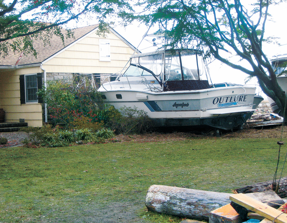
After almost 24 hours without electricity, and the prediction by the Long Island Power Authority (LIPA) of the outage extending seven to ten days, power began to come on in parts of Woodmere and Cedarhurst. The Young Israel of Woodmere was flooded, Beth Shalom had a generator, and Aish Kodesh, on the high ground by the train tracks, was operational with three minyanim for Shacharit. But with most without electricity, the discomfort of encroaching cold, darkness and no phones continued.
“This storm tied the low pressure record for the 1938 hurricane—946 millibars—28 inches of mercury,” said Thurm. “Normal barometric pressure is around 30 inches; it was two inches below normal. How low the barometer gets is a measure of how strong the storm is.”
He said the storm had migrated to Pittsburgh, “a huge, big rainstorm. Everything about the storm was meshuga (crazy). Maine was near 60 degrees today and there was elevation based snow in the mountains of West Virginia. We had record low pressure. It was unique—it came from a direction that it never comes in—from the east rather than the south. The water gets pushed in and trapped where New Jersey and Long Island meet. It was just about the worst-case scenario. You couldn’t easily come up with a worse scenario. It’s just about as bad as it gets.” He said that 1938 was a stronger storm, but this one “came in from the east, had high tide, a full moon—it was lined up for a very bad storm with no mitigating factors. Boruch Hashem, considering what happened, it could still have been a lot worse.”
And for those who asked, Sandy was female, noted Thurm. She was “One for the books.”
Harvey Thurm studied meteorology at City College of New York and graduated with a Bachelor of Science in Meteorology. “As a child I was always very interested in weather. I am fortunate that I knew from a young age that I always wanted to do this. My parents didn’t think I would follow through but I did, boruch Hashem (thank G-d).”


